Far Ings National Nature Reserve
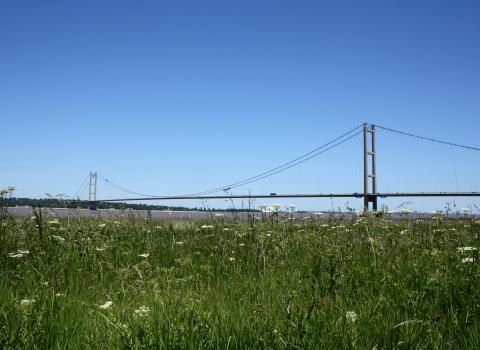
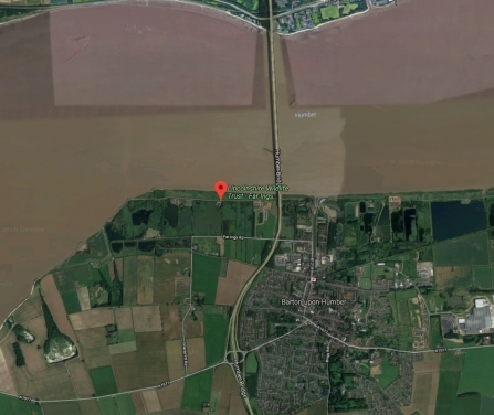
Far Ings is situated on the south bank of the Humber Estuary, a major east-west flyway for migrating birds. The sight and sound of a skein of geese flying over is spectacular.
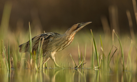
The pits and reedbeds at Far Ings and along the Humber bank are a legacy of the tile and cement industry which flourished between 1850 and 1959. Thanks to pioneering management by the Lincolnshire Wildlife Trust, the reserve is now rich in wildlife and one of the UK strongholds for bittern.
Know before you go
Facilities
- Visitor Centre
- Shop
- Picnic area
- Toilets
- Disabled toilet
- Baby changing facilities
Dogs
Dogs are not permitted on this reserve.
Access
Many paths are suitable for wheelchairs (except for closed gates when sheep are present). There is disabled access to two bird hides. Contact the Trust for further information.
Opening times
Reserve open at all times.
Visitor Centre
Open Wednesdays to Sundays, 10am - 4pm (closed on Mondays and Tuesdays).
Visitor Centre
December 2024: open on Saturdays and Sundays, 10am - 4pm (with the exception of 28 and 29 December when it will be closed).
From Wednesday 1 January: open Wednesdays to Sundays, 10am - 4pm (closed on Mondays and Tuesdays).
Toilets are available at the Ness End car park.
The centre is fully accessible on both floors, with toilet facilities and refreshments available to purchase.
Well behaved dogs are permitted in the Visitor Centre and along the Viking Way but are not permitted onto the nature reserve.
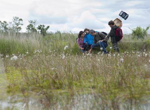
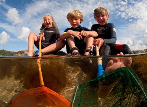
The Visitor Centre is also the base for the educational services run at Far Ings providing a range of formal and informal educational activities for all ages and abilities. Take a look below for more information.
Group visits
Any organised groups wishing to visit a reserve must fill in a Group Visit Form at least one month in advance of their visit. You can find the form on our group visit page.
Alternatively if you are looking to bring a school group, visit our Education Centre page for information.
Car park
Free parking is available at Ness End car park and the Visitor Centre car park. Visitor Centre car park is open 9am - 5pm (or dusk if earlier), Ness End Farm car park gates open from 8am and are locked at 6pm (or dusk if earlier).
Bike racks are also available in the Visitor Centre car park and Ness End car park. Cycling is not permitting within the reserve.
Location and contact details
Far Ings National Nature Reserve
Far Ings Road
Barton-upon-Humber
North Lincolnshire
DN18 5RG
Please note, this postcode is for the nearest registered address as we are unable to get postcodes for nature reserves.
OS Map Reference: TA 011 229
What3Words: ///laptop.skippers.nerd
Reserve enquiries:
01652 634507
farings@lincstrust.co.uk
Education enquiries:
01652 637055
faringseducation@lincstrust.co.uk
Visitor Centre enquiries:
01652 637055
faringscentre@lincstrust.co.uk
Habitats and species
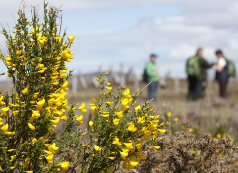
Far Ings nature reserve is a diverse landscape made up of reedbeds, meadow and scrub, and both freshwater and saltwater environments. This varied habitat is rich in microscopic life and invertebrates, which in turn support fish such as perch and roach which provide a food source to a huge variety of birds including heron and kingfisher
Management work undertaken has improved the reedbed habitat and created more open feeding areas with the aim of attracting bitterns back as a nesting species. After an absence of 21 years, bitterns began breeding again in 2000. It is possible to hear them ‘booming’ in the spring from around March. A good location to try is the double decker hide at Ness End Farm, bitterns are seen from here on a regular but infrequent basis – they are very shy birds and good at hiding.
Walks and trails
There are three circular walks through the reserve, all of which are clearly waymarked. These are Bittern Trail (allow two hours), Grebe Trail (allow one hour) and Tadpole Trail (allow half an hour).
The Viking Way walking route also crosses through Far Ings along the Humber Bank, and there are waymarked public footpaths around the reserve where you are permitted to take your dog.
Also available is the South Humber Heritage Trail. This walk is split in two sections and can be walked in either direction between Burton-upon-Stather and Winteringham and between Barton-upon-Humber and South Ferriby. There are five villages along the trail which have their own information leaflet, all of which can be downloaded below.
South Humber Heritage Trail
- South Humber Heritage Trail full map PDF (https://www.lincstrust.org.uk/sites/default/files/2018-04/South-Humber-heritage-trail.pdf)
- Burton-upon-Stather (https://www.lincstrust.org.uk/sites/default/files/2018-04/south_humber_heritage_trail_burton-upon-stather_0.pdf)
- Alkborough (https://www.lincstrust.org.uk/sites/default/files/2018-04/south_humber_heritage_trail_alkborough.pdf)
- Whitton (https://www.lincstrust.org.uk/sites/default/files/2018-04/south_humber_heritage_trail_whitton.pdf)
- Winteringham (https://www.lincstrust.org.uk/sites/default/files/2018-04/south_humber_heritage_trail_winteringham.pdf)
- South Ferriby (https://www.lincstrust.org.uk/sites/default/files/2018-04/south_humber_heritage_trail_south_ferriby.pdf)
A closer look at Far Ings...
As part of our Wilder Lincolnshire podcast, we took a closer look at a range of things that take place on the reserve, from practical management of reed beds and meadows to school visits and the day to day running of the Visitor Centre.
Keep in touch
Take a look at the Far Ings social media pages for the latest news, or search for an upcoming event.
Jamie Hall

