Lincolnshire Wildlife Trust

Barrie Wilkinson

Barrie Wilkinson
Know before you go
Dogs
Assistance dogs only
When to visit
Opening times
Open at all timesBest time to visit
April to JulyAbout the reserve
Sow Dale is the most extensive of the dales that fret the Spilsby Sandstone country of the southern Wolds. For centuries it has formed an important access to the hills from the fenland country to the south; the famous prehistoric site of Hall Hill overlooks the entrance to it, and by the Middle Ages it was guarded by John of Gaunt's great castle at Old Bolingbroke.
Until the early 1980s the Dale had survived in traditional usage of meadow, pasture and woodland, but recently more intensive farming has converted large areas of it to arable cropping, with consequent loss of landscape and wildlife interest.
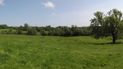
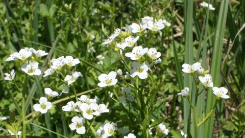
The Trust's reserve consists of a meadow and woodland in the upper part of the Dale and a block of some 23.5 hectares (58 acres) of pasture in lower Sow Dale immediately adjacent to Old Bolingbroke. There are some fine old hedges, and willow and alder carr alongside the stream. Common spotted-orchid, ragged-robin and fleabane are among the flowers of the grassland; kingcups make a bold splash of colour in April in the spring-line flushes on the valley sides where the sandstone meets the Kimmeridge Clay below it.
In the carr the stands of giant horsetail resemble a coal measure forest and the branching marsh thistles grow to six feet or more. Both species of golden-saxifrage (alternate-leaved and opposite-leaved) grow in shady places by the stream, and in the open there are water forget-me-not and brooklime.
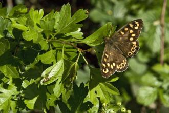
Badgers are regular in the Dale and there is a varied bird fauna. Kestrel, sparrowhawk, barn and tawny owls, snipe, and green and great spotted woodpeckers are all resident. Blackcap, whitethroat, lesser whitethroat, and spotted flycatcher are occassional summer visitors. The common grassland butterflies are usually abundant.
Upper Sow Dale was designated a Sanctuary Area in 2014 with no public access. The area will be managed for conservation with reduced levels of disturbance for wildlife.
Nearest postcode PE23 4HF (lower Sow Dale). Please note - postcodes are for the nearest registered address as we are unable to get postcodes for nature reserves.


