Lincolnshire Wildlife Trust
Dave Vandome

Dave Vandome
Deeping Lakes
Location
Know before you go
Dogs
Assistance dogs only
When to visit
Opening times
Open at all timesBest time to visit
January to DecemberAbout the reserve
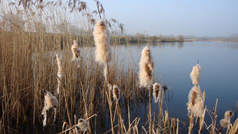
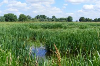
Wetland south-east of Deeping St James of some 160 acres including part of the Deeping Gravel Pits SSSI and the Welland Bank Pits. There is a main lake (formerly known as "The Lake", dating from 1800) and two areas of smaller lakes and pools (formerly known as Welland Bank Quarry, excavated in the 1990's).
The Lake is noted for its wildfowl and waterbird communities. Management of this area has been aimed at: path maintenance along the southern shore, creating small wildflower meadows and, clearing trees from an area where early marsh orchids were known to grow. A bird hide overlooks the lake.
Management of the newer lakes has been concentrated on establishing the grassland areas, coppicing or pollarding trees planted as part of the restoration process, and the removal of self-sown trees around the edges of the various lakes. By keeping the margins free of trees it is hoped that marginal vegetation and reedbeds will naturally develop, and there are some encouraging signs of this. Islands are also being kept "tree free" or even totally free of vegetation to encourage ground nesting birds such as terns, plovers and lapwings.
Nearest postcode PE6 8RJ. Please note - postcodes are for the nearest registered address as we are unable to get postcodes for nature reserves.
Location information
Deeping Lakes location and history PDF
Deeping Lakes Countryside for All map
The Lincolnshire County Council Countryside for All leaflet details path surfaces, gradients, cross-slopes as well as the location of seats, steps and gates.


